top of page

Volume of gravel pits
Volume of gravel pits
Volumetry by drone
Client: Gravel Pit Operator – Vallée-Jonction
Client Need: Obtain accurate volume estimates of aggregate stockpiles across multiple sites for optimal inventory management
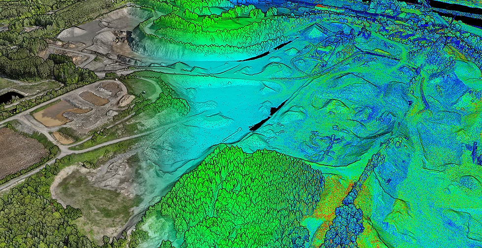
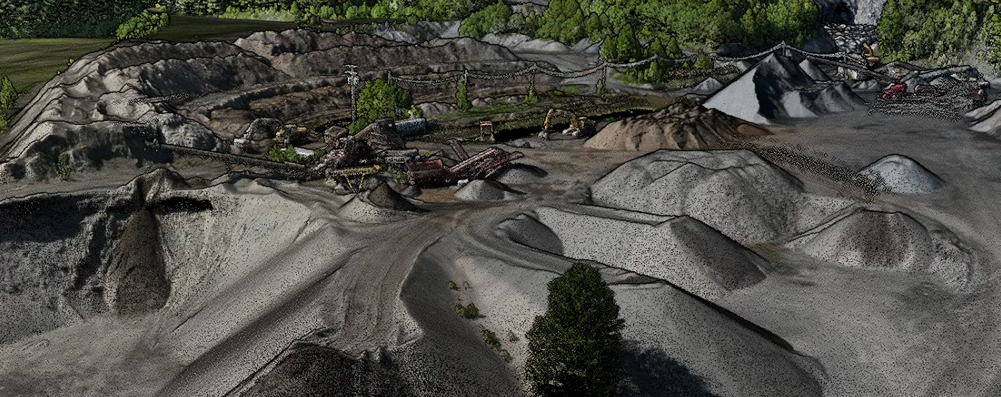
Work Performed: Aerial LiDAR survey using a drone, high-density point cloud processing, terrain and stockpile modeling
Deliverables: Volume report by stockpile (PDF), point clouds (LAS/LAZ), digital surface model (DSM), and GIS files (DXF, SHP)
Benefit: LiDAR technology captures true ground geometry even in areas with vegetation or complex surfaces, ensuring optimal accuracy for operational decisions and billing purposes
bottom of page


