
SIMPLE 3D SOLUTIONS, TAILORED TO YOUR PROJECTS
OUR SOLUTIONS
From on-site capture to advanced modeling, our solutions adapt to the complex needs of engineering, industry, architecture, and land planning projects.
Whether you need to document existing conditions, assess compliance, plan a transformation, or coordinate stakeholders, we deliver precise data ready to integrate into your workflows.
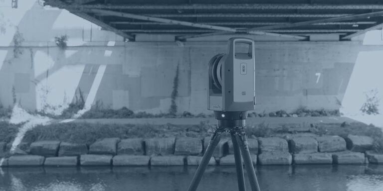
3D Scanning
-
Industrial redevelopment
-
Renovation of existing buildings
-
Measurement for manufacturing
-
2D drawing of existing conditions
-
3D modeling of existing conditions
-
Reverse engineering
-
Heritage preservation
-
Film and video games
-
Deformation analysis
-
Scan to BIM
Aerial 3D Scanning
-
Topography
-
Municipal inventory
-
City orthophoto (2D)
-
3D city model
-
Urban planning
-
Volumetry
-
Forest inventory
-
Thermography
-
Construction monitoring
-
Precision agriculture
-
Search and rescue
-
Gas detection and measurement in the air
-
Photo and video
-
Thermal study
Bathymetry
-
Seafloor mapping
-
Water volume
-
Excavation monitoring
-
Erosion monitoring
-
Seafloor mapping
-
Water volume measurement
-
Excavation monitoring
-
Erosion monitoring
Inspection & quality control
-
Manhole inspection (PACP/MACP)
-
Facade inspection (LOI 122)
-
Crack mapping
-
Thermographic inspection
-
Construction monitoring
-
Slab flatness (ASTM E1155)
-
Manufacturing compliance
-
Anchor verification
BIM
-
Clash detection
-
Construction planning
-
Event planning
-
BIM coordination
-
Scan to BIM
-
As-built (TQC)
Remote sensing & mapping
-
Mapping
-
GIS
-
Certificate of Location (Surveying Division PCB)
-
Subdivision (Surveying Division PCB)
-
Staking/Setting out (Surveying Division PCB)

250+
projects
delivered across Canada and the United States

Millimeter
precision
for reliable, immediately actionable results
Rapid
response
and easy integration into your
BIM tools and software

Based in Quebec – Serving all of Canada